What quantitative risk assessment strategy is considered more effective than static mapping for areas like Lake George?
Answer
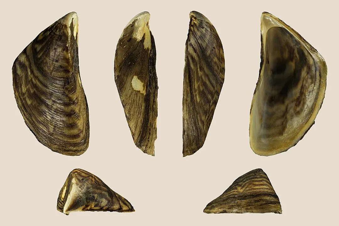
Tracking traffic flow of trailered boats
Effective management in areas subject to high recreational use requires moving beyond a static map that only shows where mussels currently exist. Water managers find it more effective to quantify risk by mapping traffic flow, specifically the movement of trailered boats between known infested lakes and clean systems. If Lake A sees a high volume of boat movements per month into Lake B, the immediate threat level to Lake B is demonstrably higher than a lake that is physically closer but receives minimal boat traffic from the source water.
Related Questions
What is the natural habitat for the zebra mussel, *Dreissena polymorpha*?How did *Dreissena polymorpha* likely arrive in the Great Lakes basin?What term denotes the microscopic larvae spread downstream through river currents?Which New York waterway is noted for intense monitoring and community science initiatives regarding zebra mussels?What is identified as the number one vector for spreading zebra mussels between geographically separate lakes?What type of substrate do zebra mussels strongly prefer for attachment in a lake environment?How does the colonization pattern of the quagga mussel differ from the substrate-dependent zebra mussel?After establishing in the Great Lakes, what became a major secondary corridor for zebra mussel expansion?What quantitative risk assessment strategy is considered more effective than static mapping for areas like Lake George?Why is distinguishing between zebra mussels and quagga mussels critical for remediation strategies?